The Westover ARB, partners and surrounding communities have been studying the compatibility of base operations and land uses in the surrounding communities.
Westover Joint Land Use Study (JLUS)
WESTOVER AIR RESERVE BASE - JOINT LAND USE PLAN UPDATE 2018
The United States Department of Defense (DoD) has enlisted the assistance of the Pioneer Valley Planning Commission (PVPC) to work with Westover Air Reserve Base (WARB), Westover Airport and the surrounding communities of Chicopee, Springfield, South Hadley, Ludlow and Granby to update the base’s Joint Land Use Study (JLUS), most recently completed in 2004.
The development of this JLUS update is a cooperative land-use planning effort to identify existing and potential incompatibilities between activities occurring on the base and those in the surrounding communities. The recommendations developed from the JLUS will provide the policy framework to support adoption and implementation of compatible development near the military installation. This is typically most effectively achieved through the use of local land-use planning and zoning regulations and improved cooperation and communication between all parties.
The JLUS Update is a comprehensive and ongoing process which encourages public input. This includes soliciting comments through a public survey. To view the results of the Westover JLUS Community Survey, please click here.
Online Maps:
Downloadable Maps:
Air Installation Compatibility Use Zone (AICUZ) Maps
Additional Information
For additional information related to the WARB JLUS Update 2018 or you can contact Catherine Ratté, PVPC Senior Planner.

5 years 4 months ago
5 years 5 months ago
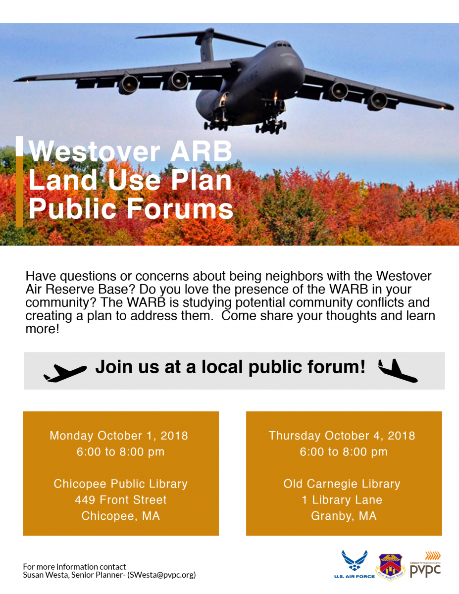
The Westover ARB and surrounding communities have been studying how the base and communities impact one another. Join us for a discussion of the study's key findings and recommendations.
5 years 7 months ago
Continuing, Comprehensive, and Cooperative Planning Process