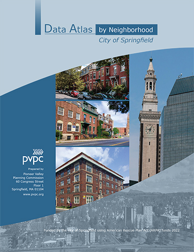
 WELCOME to the second edition of the City of Springfield MA Neighborhood Data Atlas.
We hope you will find this information useful in understanding your neighborhood. The city of Springfield engaged their regional planning agency, the Pioneer Valley Planning Commission (PVPC) to produce this Data Atlas in order to provide community-based advocacy and service delivery organizations, residents, and city government with health, economic, and educational information on each of the city’s 17 neighborhoods. Collectively, we seek to answer the question: how is Springfield doing?
As illustrated throughout the atlas, the city faces extreme challenges, with wide variations in measures of health and well-being between neighborhoods. In some neighborhoods, notable gains are evident. Yet other neighborhoods fall far below expectations for the city, region, and state, reminding us of and invigorating us in our efforts to improve health outcomes, economic security and quality of life. We provide this data atlas as a foundation for strategic decision-making by local organizations, city government and the public. Our hope is that the findings presented within these pages foster ongoing informed dialogue and action dedicated to shaping the city’s future.
Click here to view/download the full Springfield Data Atlas report as a PDF.
Click here for online Data Atlas maps.
